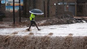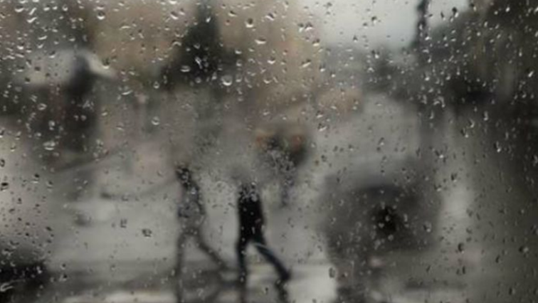
A cold front is expected to grip most parts of the country from Friday onwards. The South African Weather Services (SAWS) has confirmed that a high-pressure system will bring with it icy conditions and heavy rainfall.
KwaZulu-Natal and the Eastern Cape are likely to be worst affected by the drop in temperatures, but Mpumalanga and Limpopo could also feel the pinch.
Meanwhile, reports suggest that there could be snowfall over the Drakensberg region in the coming days.
⚠️First cold spell of the season expected this week into the weekend over southern, central and Eastern South Africa. Widespread showers expected over the Eastern Cape and KZN from tomorrow (29 April) into Friday. Light snowfall possible in the Drakensberg regions of EC and KZN. pic.twitter.com/EUKgx8QZFf
— SA Weather Service (@SAWeatherServic) April 28, 2021
Weather forecaster, Venetia Phakula, says the whole country will experience a cold snap.
“The cold front is just slipping past, it’s the high pressure that is following that, expecting cold temperatures over especially, the Eastern Cape and parts of KZN. We expecting by Saturday for it to extend to Mpumalanga and Limpopo. So basically the whole country from Friday into the weekend it will experience a drop in temperatures.”
#weather outlook for today (29 April 2021) and tomorrow #morninglivesabc #morninglive #sabc #sabcnews #sabcweather #sabc2 pic.twitter.com/2rKLJ0rFbz
— Phemelo Zonke (@PhemeloMelo) April 29, 2021