Australia’s weather bureau said on Tuesday that sea surface temperatures in the tropical Pacific were rising and an El Nino weather event, which typically brings hotter, drier weather, would likely develop between September and November.
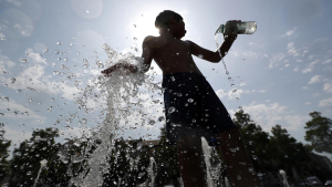
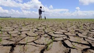
El Nino is associated with extreme weather phenomena, from wildfires to tropical cyclones and prolonged droughts.
The World Meteorological Organisation said last month the weather pattern had emerged in the tropical Pacific for the first time in seven years.
But the Australian Bureau of Meteorology has not yet matched that call. It has issued an El Nino alert, which it says has historically led to the event around 70% of the time.
“Sea surface temperatures (SSTs) in the tropical Pacific are exceeding El Nino thresholds and have continued to warm slightly over the last fortnight,” the bureau said in a statement on its website.
“Climate models indicate further warming of the central to eastern Pacific is likely, with SSTs remaining above El Niño thresholds until at least early 2024.”
However, the bureau said the 90-day Southern Oscillation Index (SOI), an indicator used to assess El Nino development, was below El Nino thresholds and that trade winds and Pacific cloudiness had not yet demonstrated sustained El Nino patterns.
“Overall, atmospheric indicators suggest the Pacific Ocean and atmosphere are not yet consistently reinforcing each other, as occurs during El Nino events,” the bureau said.
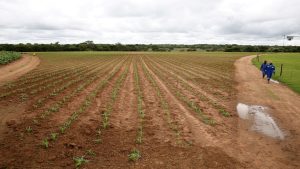
El Nino typically suppresses spring rainfall in eastern Australia, which poses a risk to the region’s wheat crop.
The Bureau maintained its long-range forecast of warmer and drier conditions across large parts of Australia from September to November.