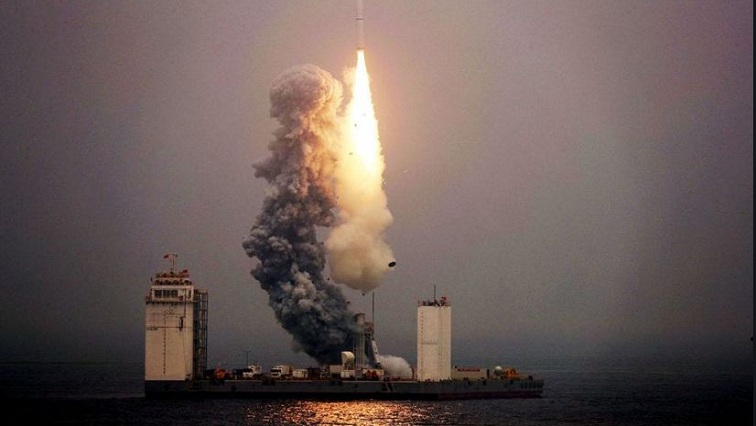
China’s first sub-meter high-resolution optical transmission stereo mapping satellite Gaofen-7 was successfully launched at the Taiyuan Satellite Launch Center in the northern province of Shanxi on Sunday.
With the sub-meter level of resolution and the highest positioning accuracy in China, Gaofen-7 can draw stereoscopic maps with an error of less than one meter for the topography of China and even the whole world.
Compared with ordinary optical remote sensing satellites, which can only take plane images, Gaofen-7 can draw three-dimensional images, meaning that once it is put into use, all the buildings in the world will no longer be just a square on the map, but a series of three-dimensional models.
Gaofen-7 can not only provide valuable information for planning, environmental protection, taxation, land, agriculture and other departments, but is also where the core competitiveness in the field of civil navigation lies.
Therefore, the entry into operation of Gaofen-7 will put an end to the status quo that the high-resolution stereo remote sensing image market in the upper reaches of the geographic information industry relies heavily on foreign satellites, and will open a new era of independent large-scale space mapping in China.
The satellite was sent into space by the Long March 4B rocket, together with other three satellites, namely Exquisite Gaofen Test Satellite, Sudan Scientific Experiment Satellite and Xiaoxiang 1-08 Satellite.


